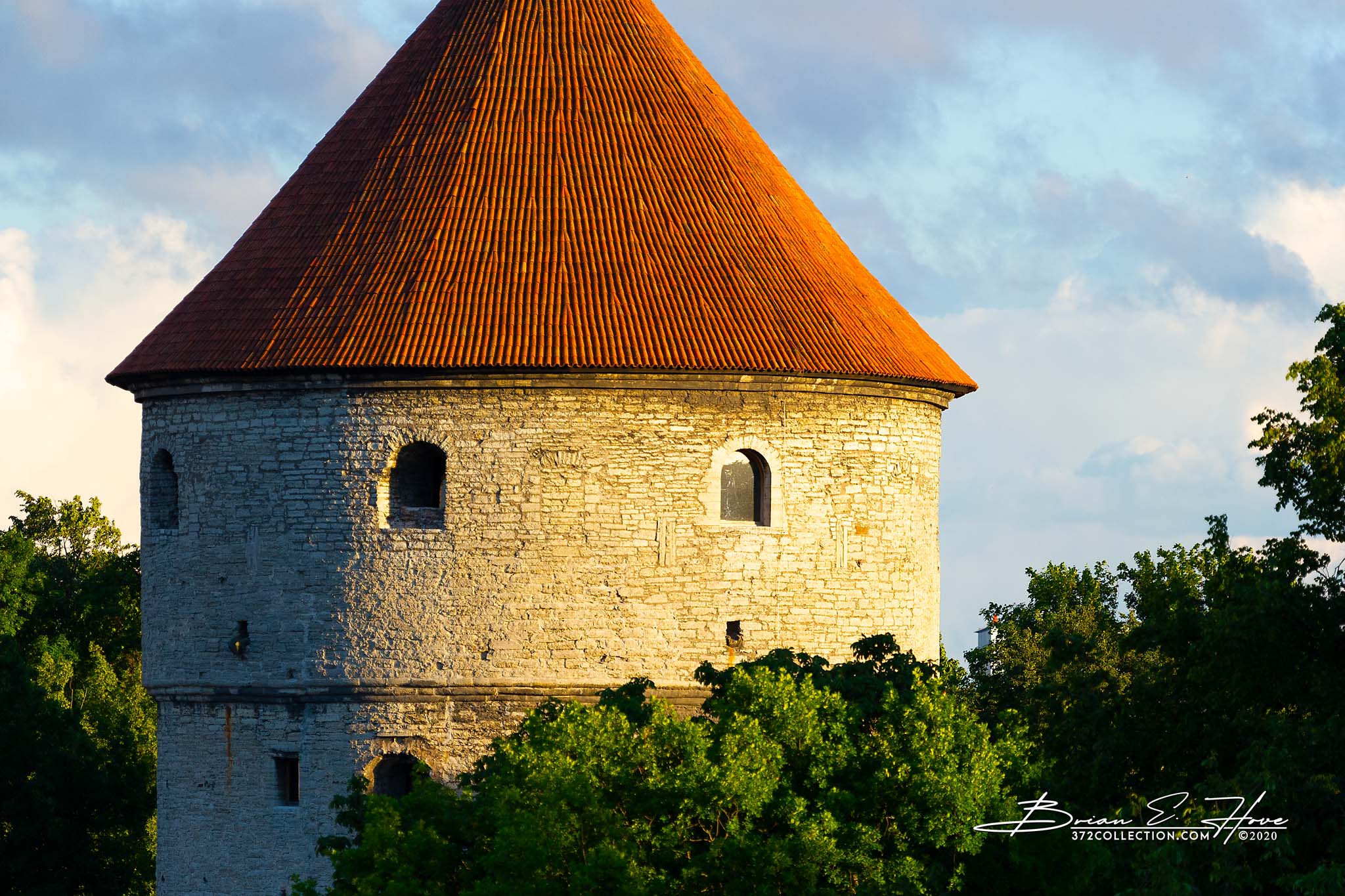
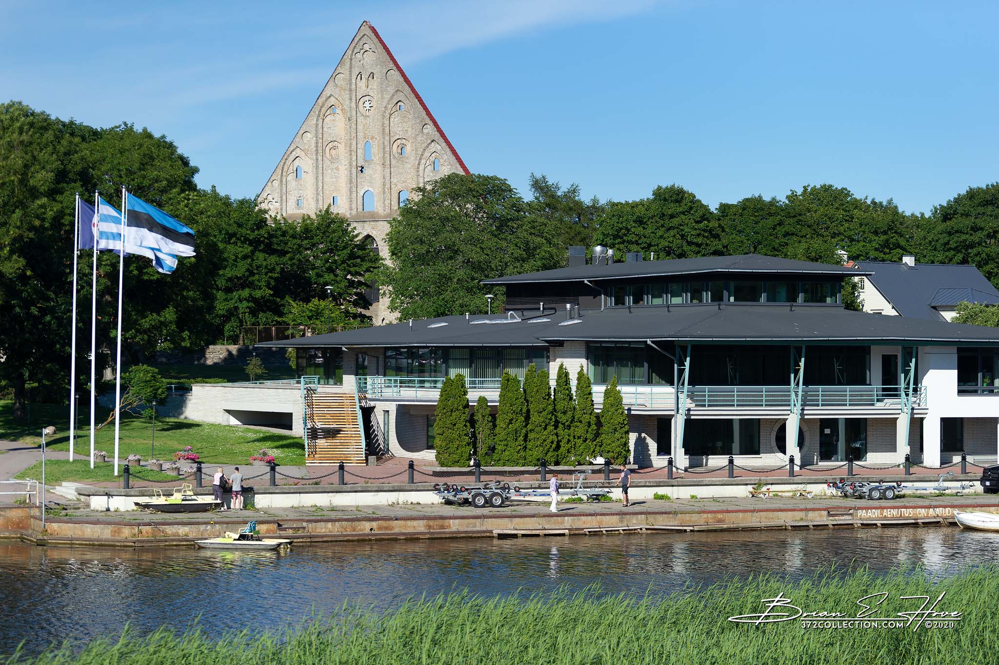
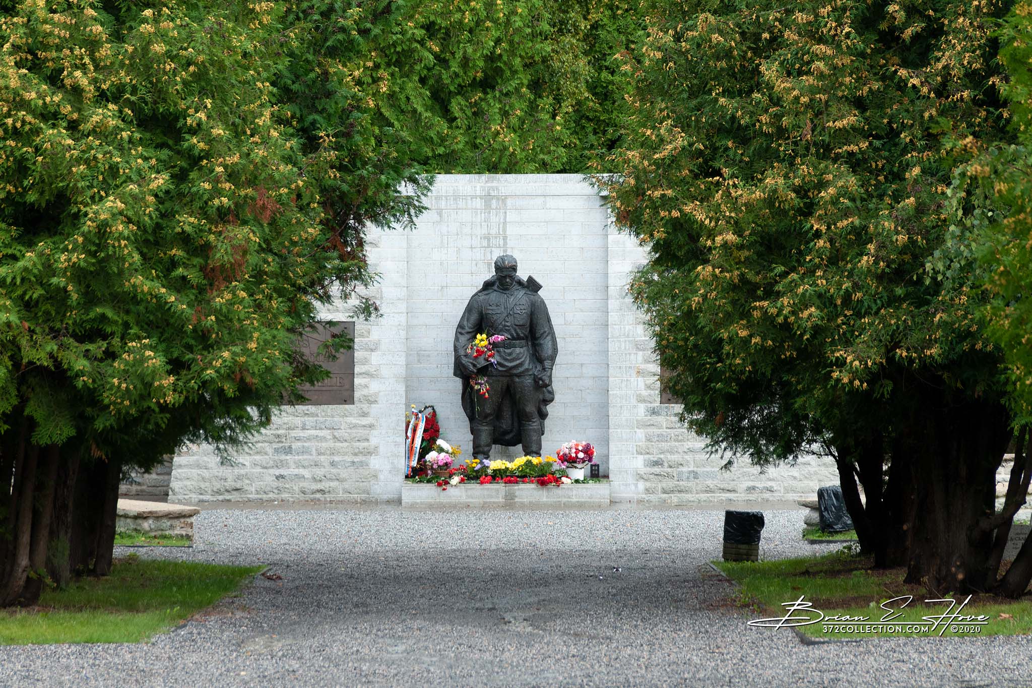
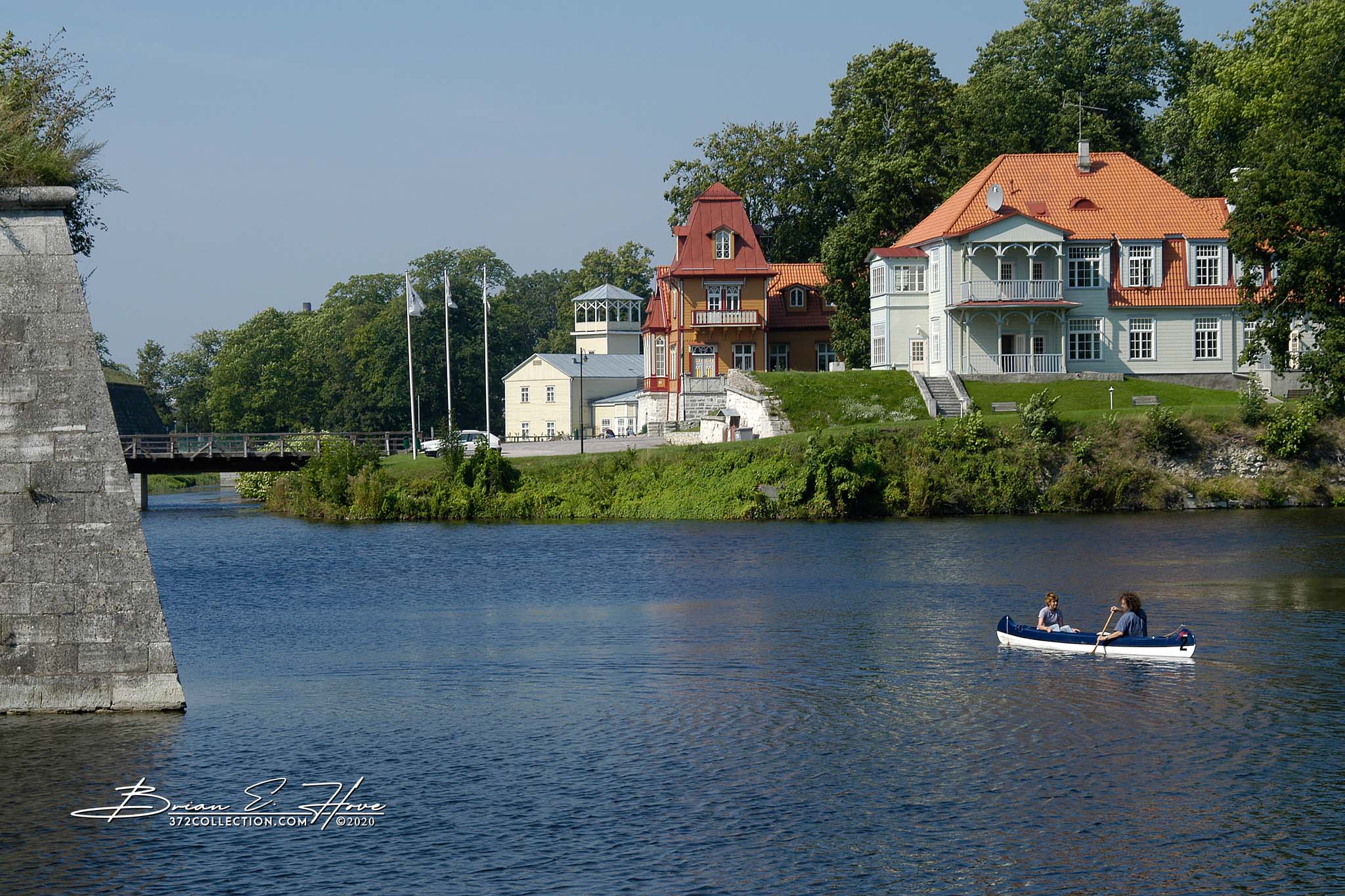
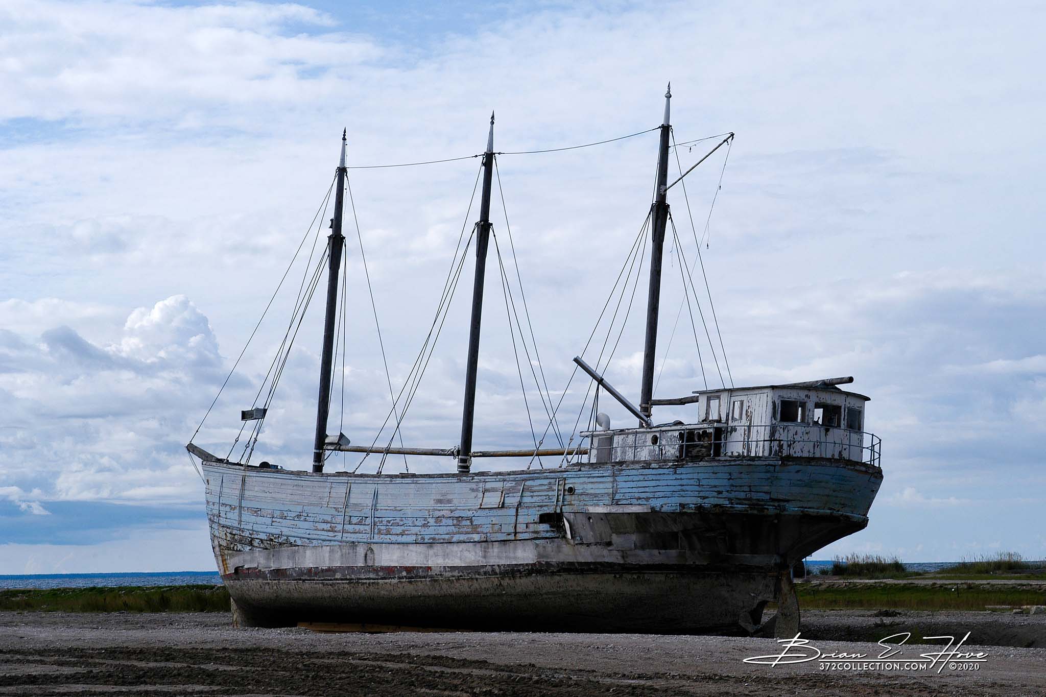
Kuressaare, with a population numbering approximately 13,000, is located on Saaremaa’s southwest coast and serves as the island’s seat of government. It first appeared on maps in the middle of the 12th century and is notable for its well-preserved fortress.
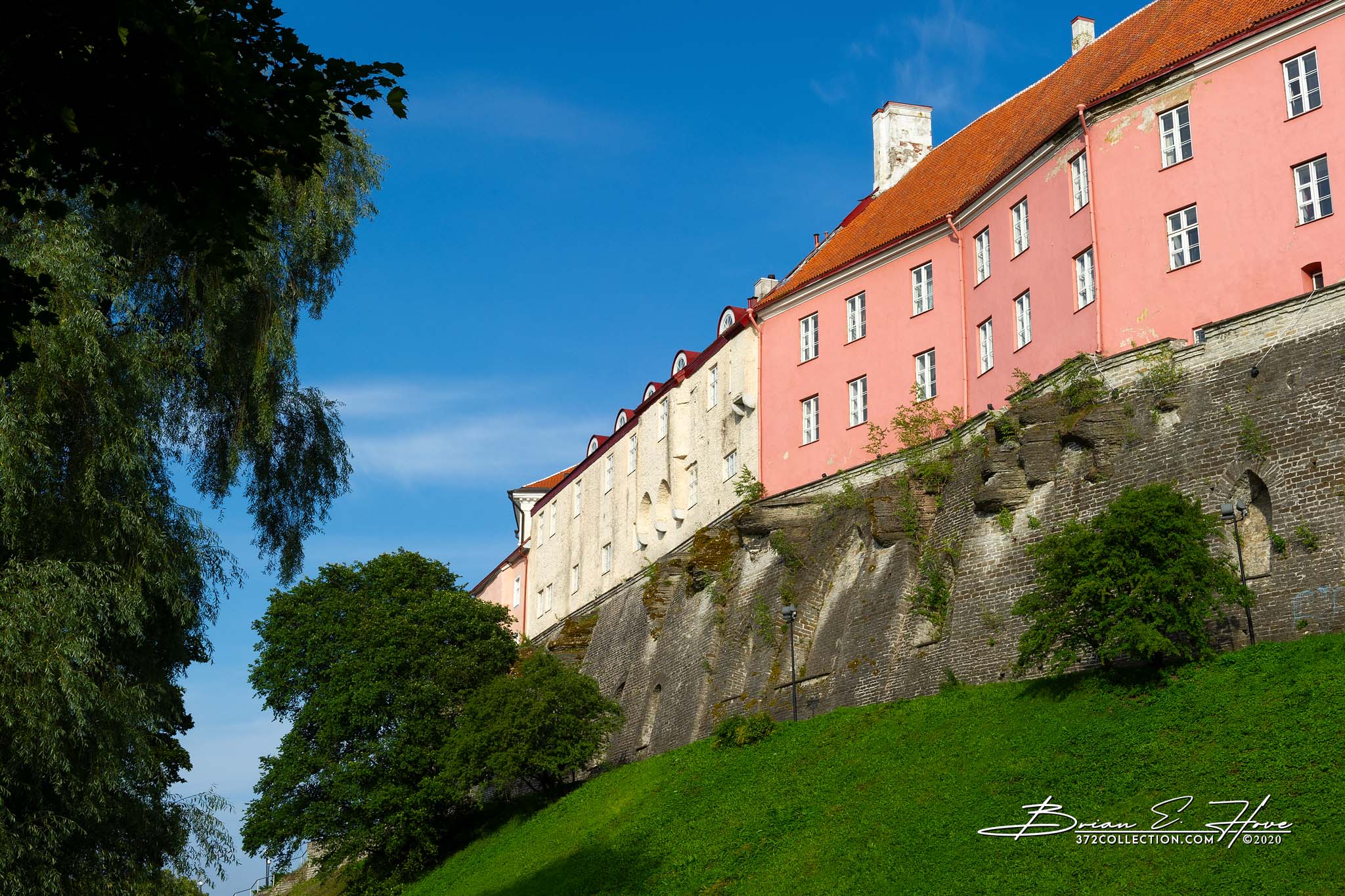
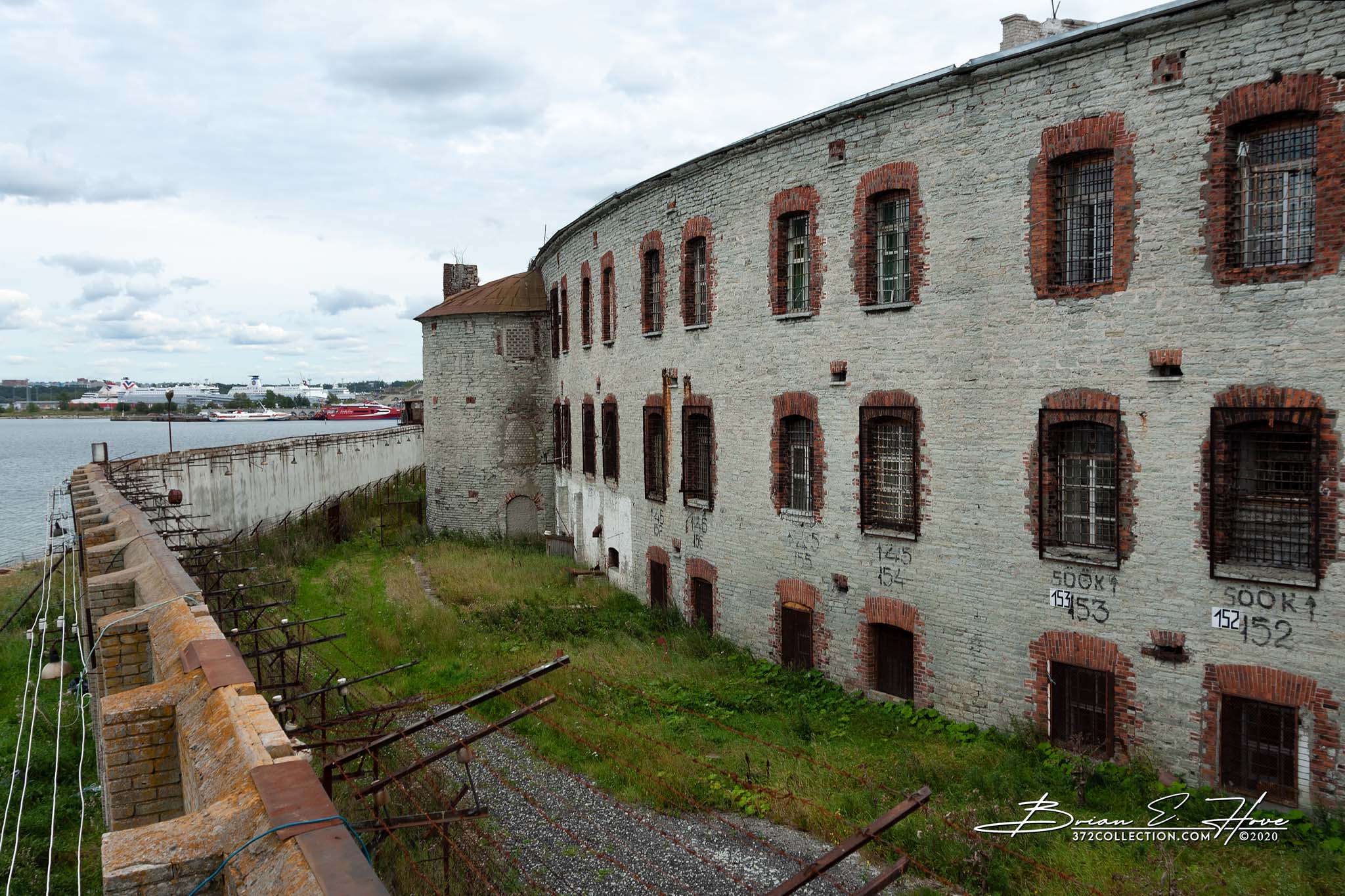
The castle was initially developed in the late 14th century by the Teutonic Order. From the mid-1500s to the early 1700s it was continually modernized to defend against improvements made in offensive weaponry (first by the Denmark-Norway coalition and then Sweden). In the early 18th century Sweden abandoned its Estonian territory as a result of Russia’s victory in the Great Northern War. After that the castle fell into a lengthy period of disinterest and neglect. World War II renewed its strategic value as it was held at various times by both the Nazis and the Soviets.
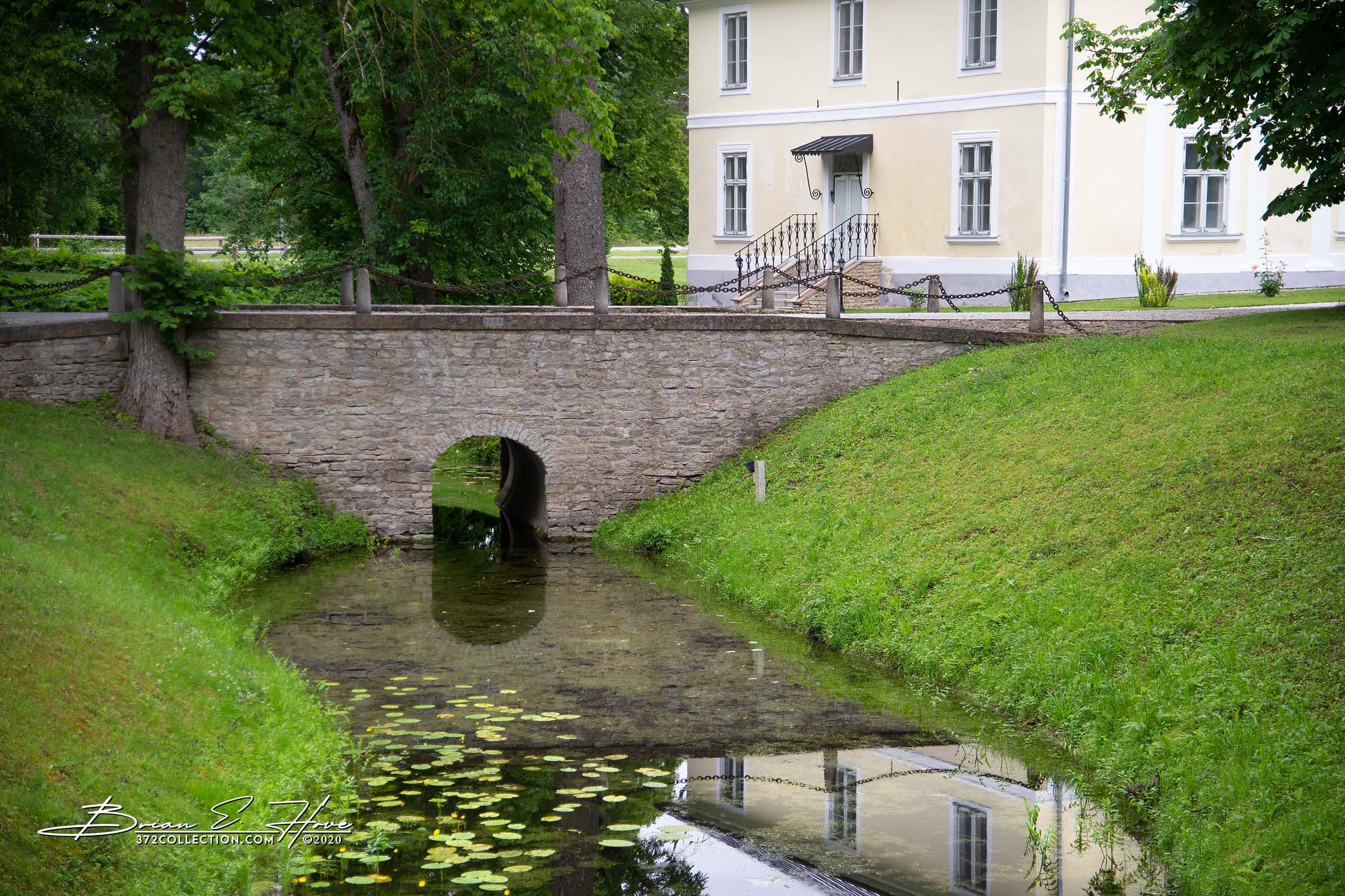
Seen from above (Google Earth for instance), the castle presents a remarkable geometric visual with perfectly formed ravelins and bastions set against a moat surrounding the entire complex. This may, in part, be a result of careful renovations during the 20th century. Nonetheless, it remains an architectural marvel.
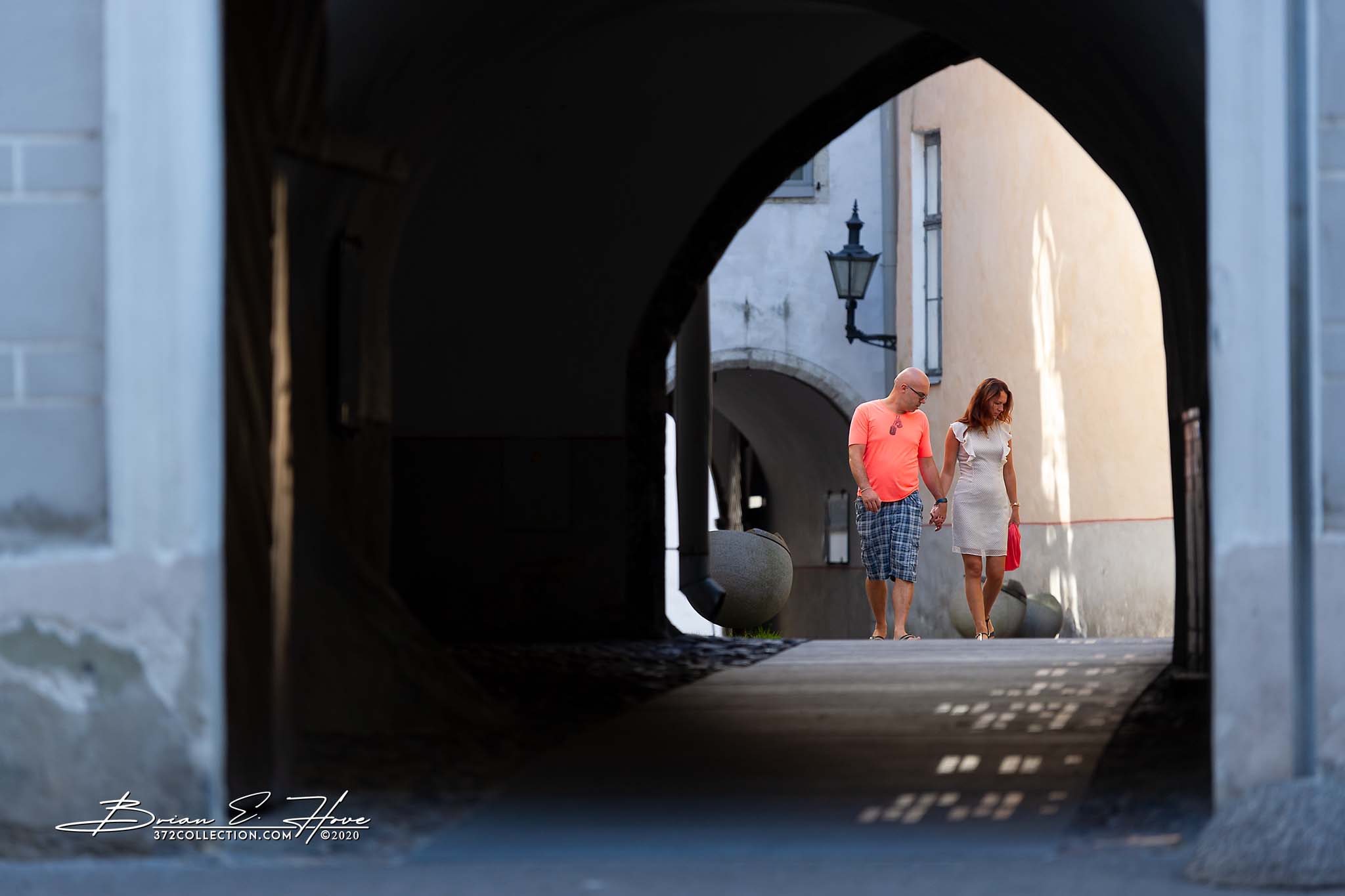
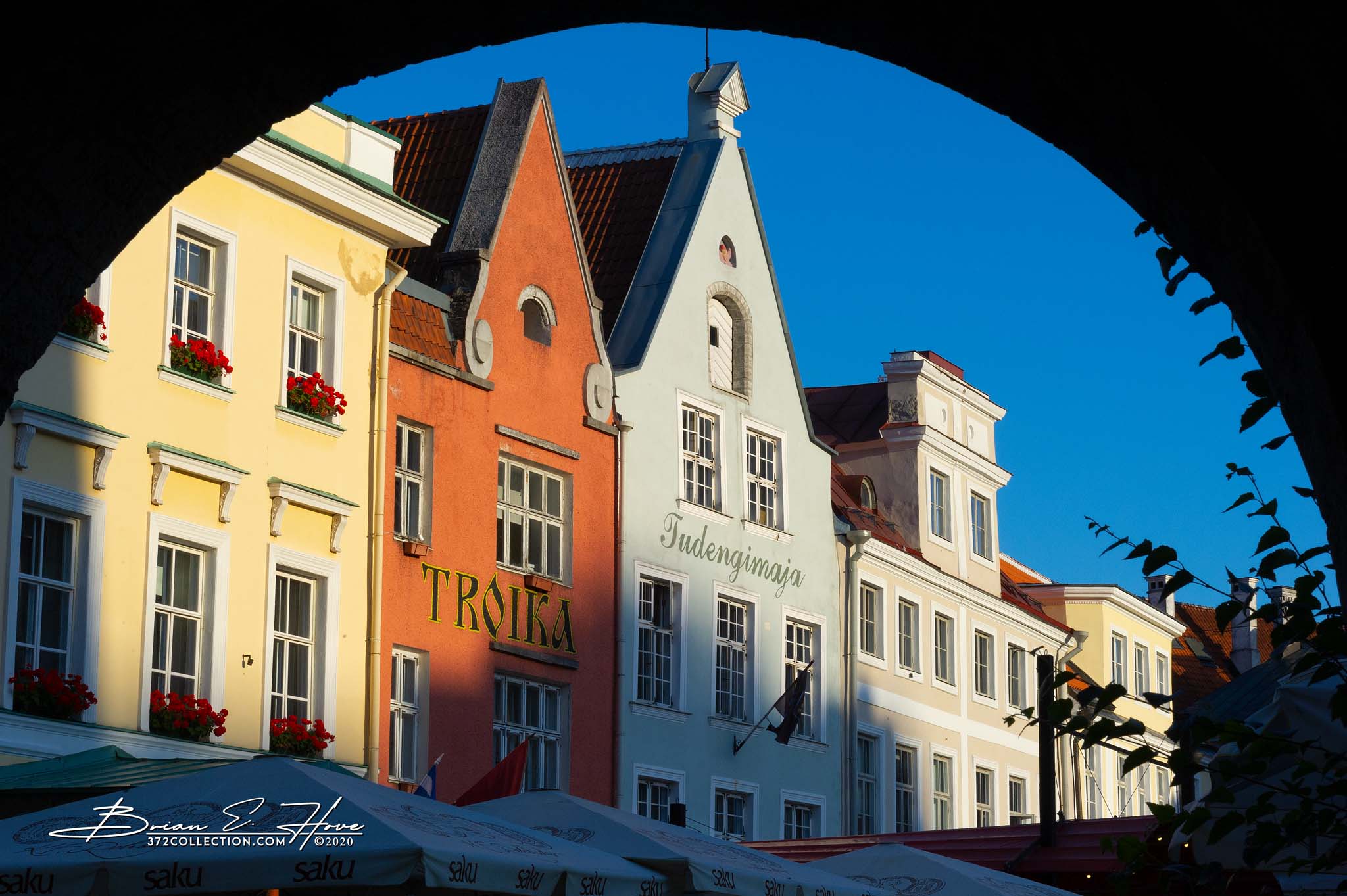
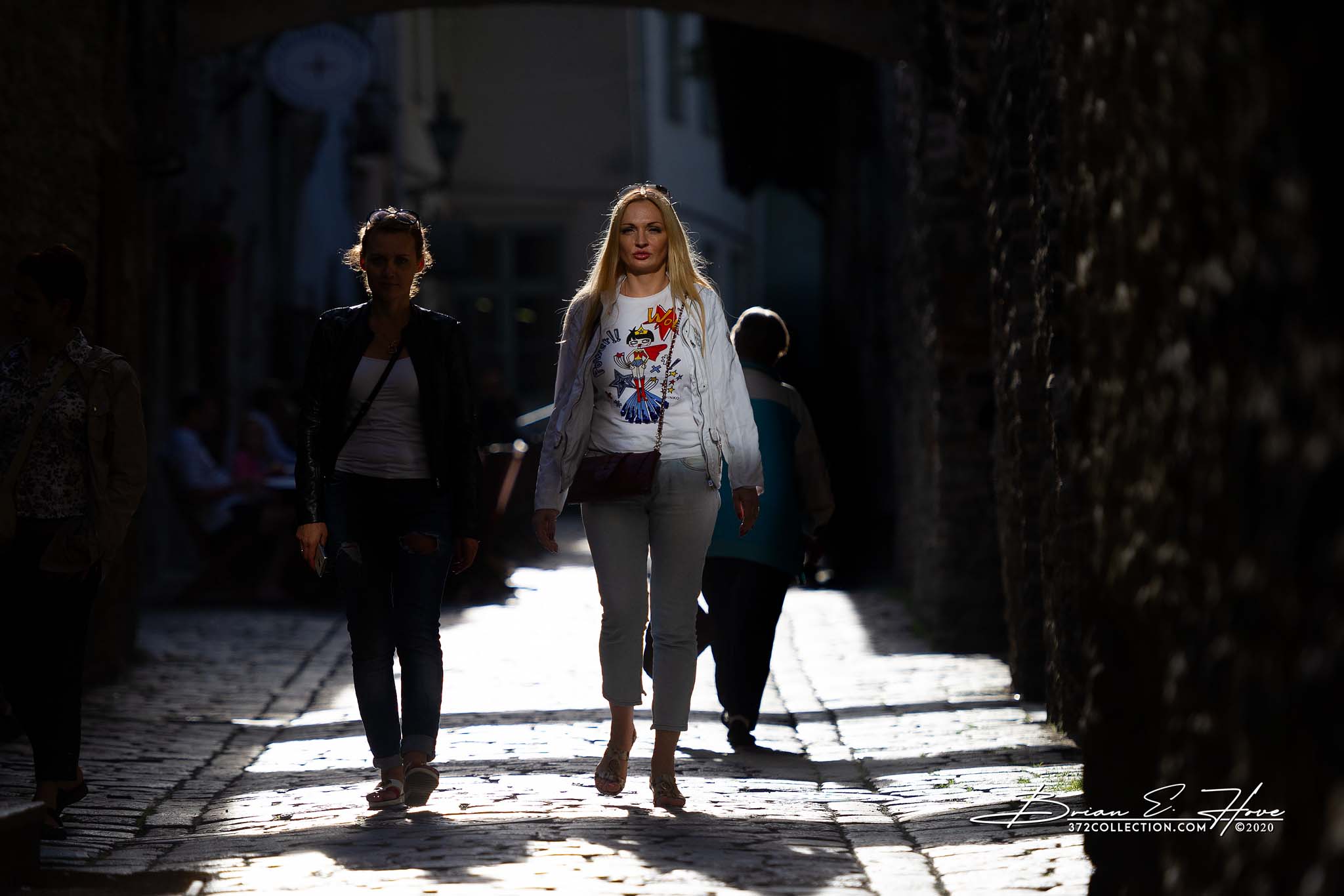
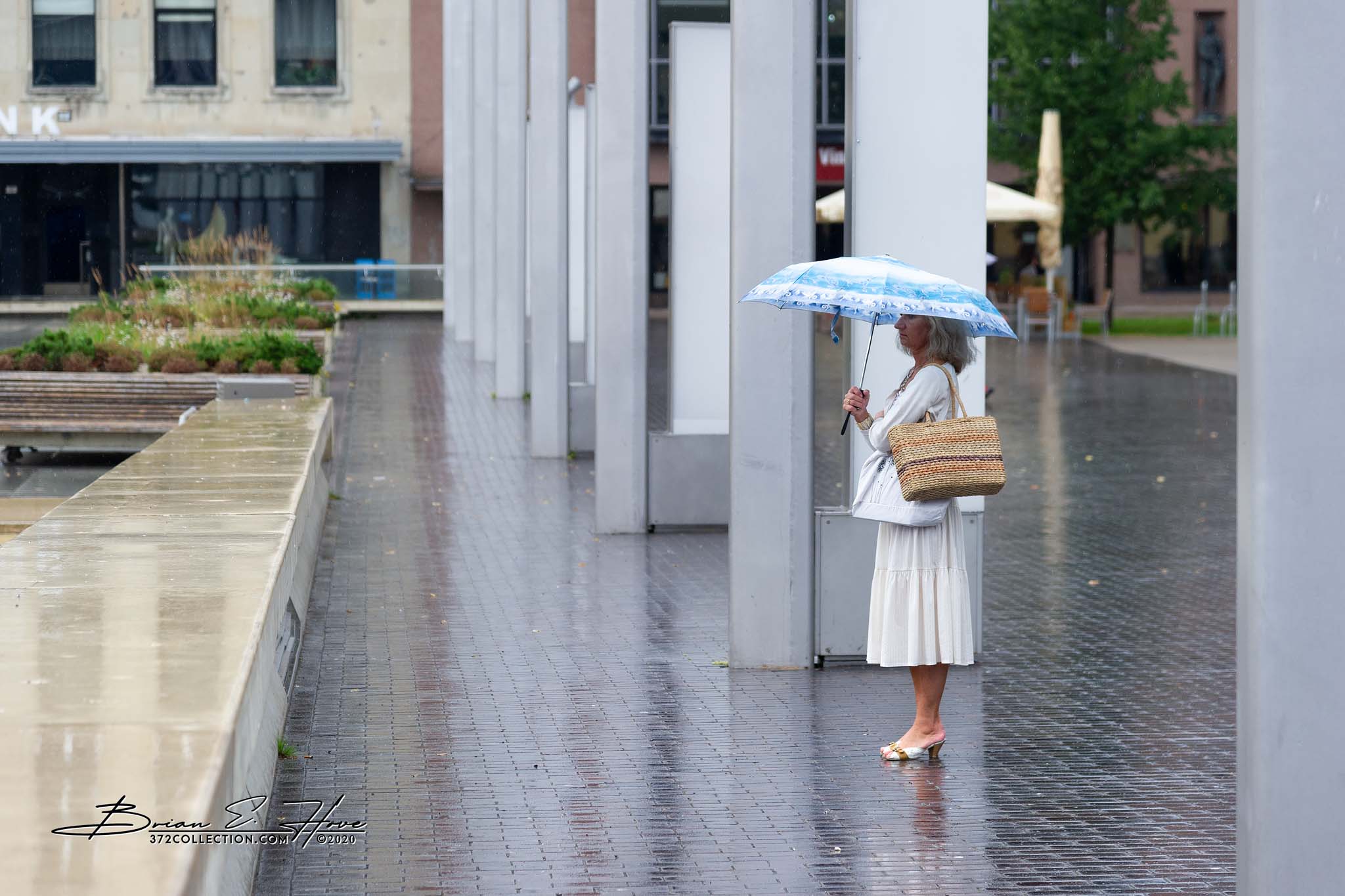
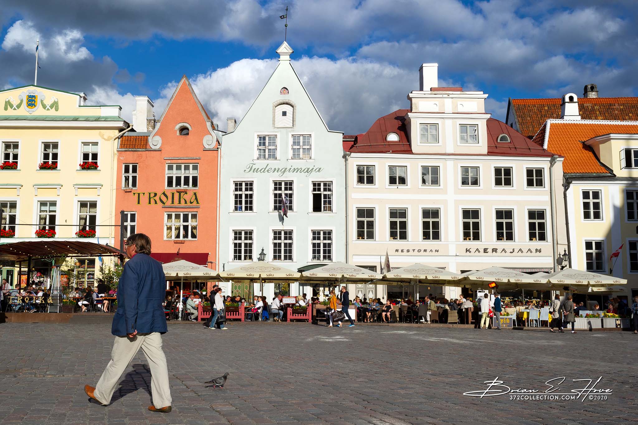
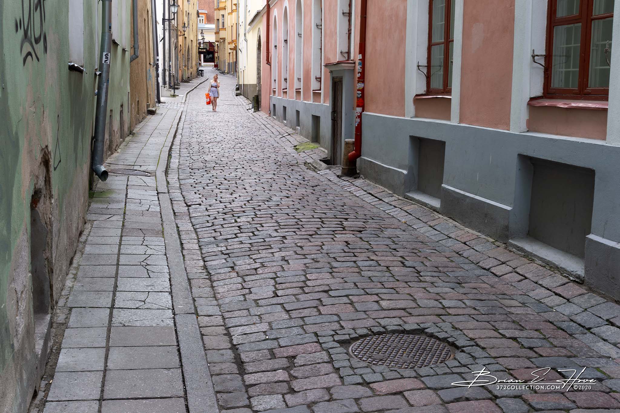
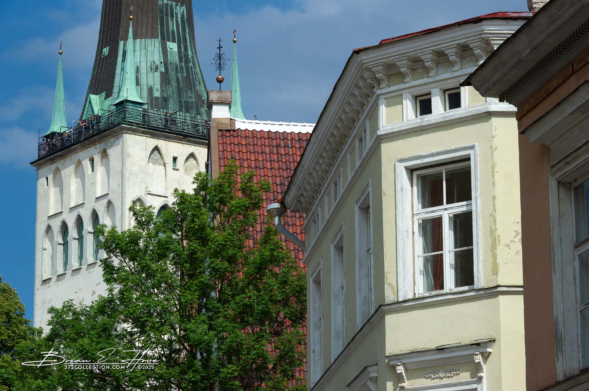
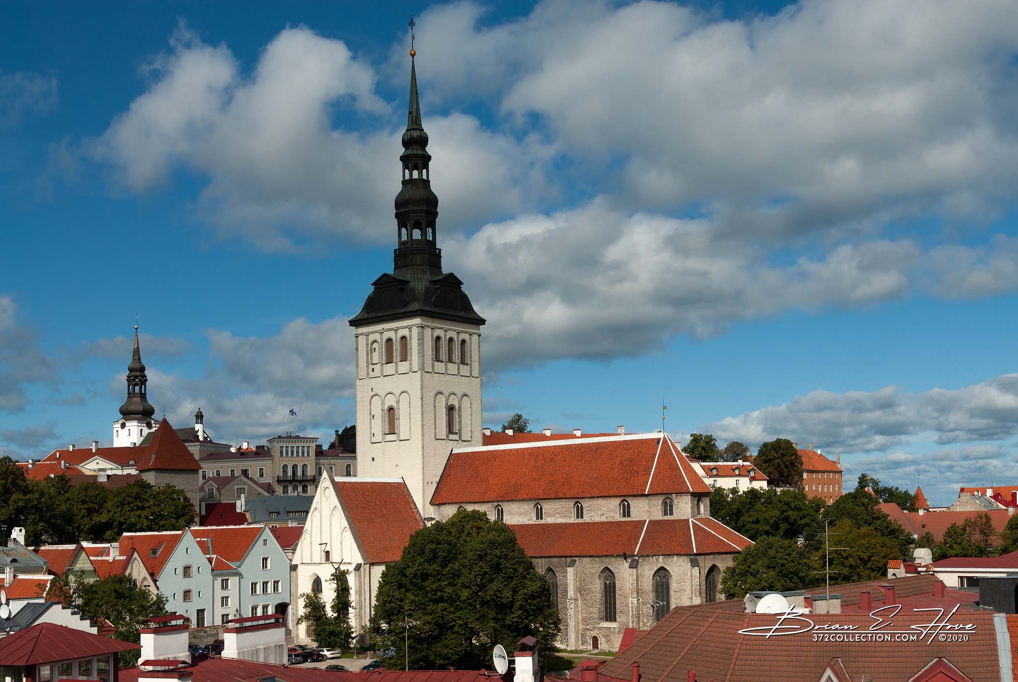
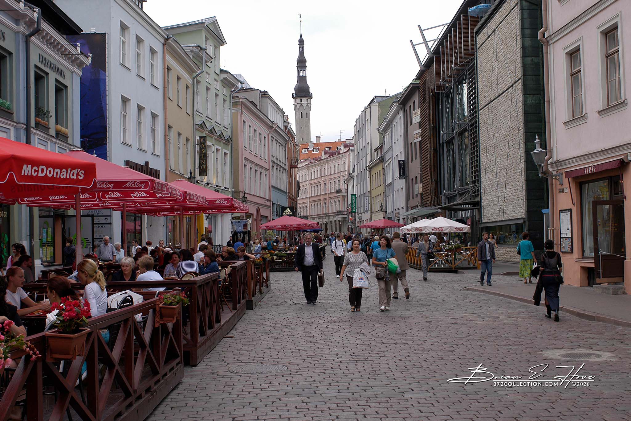
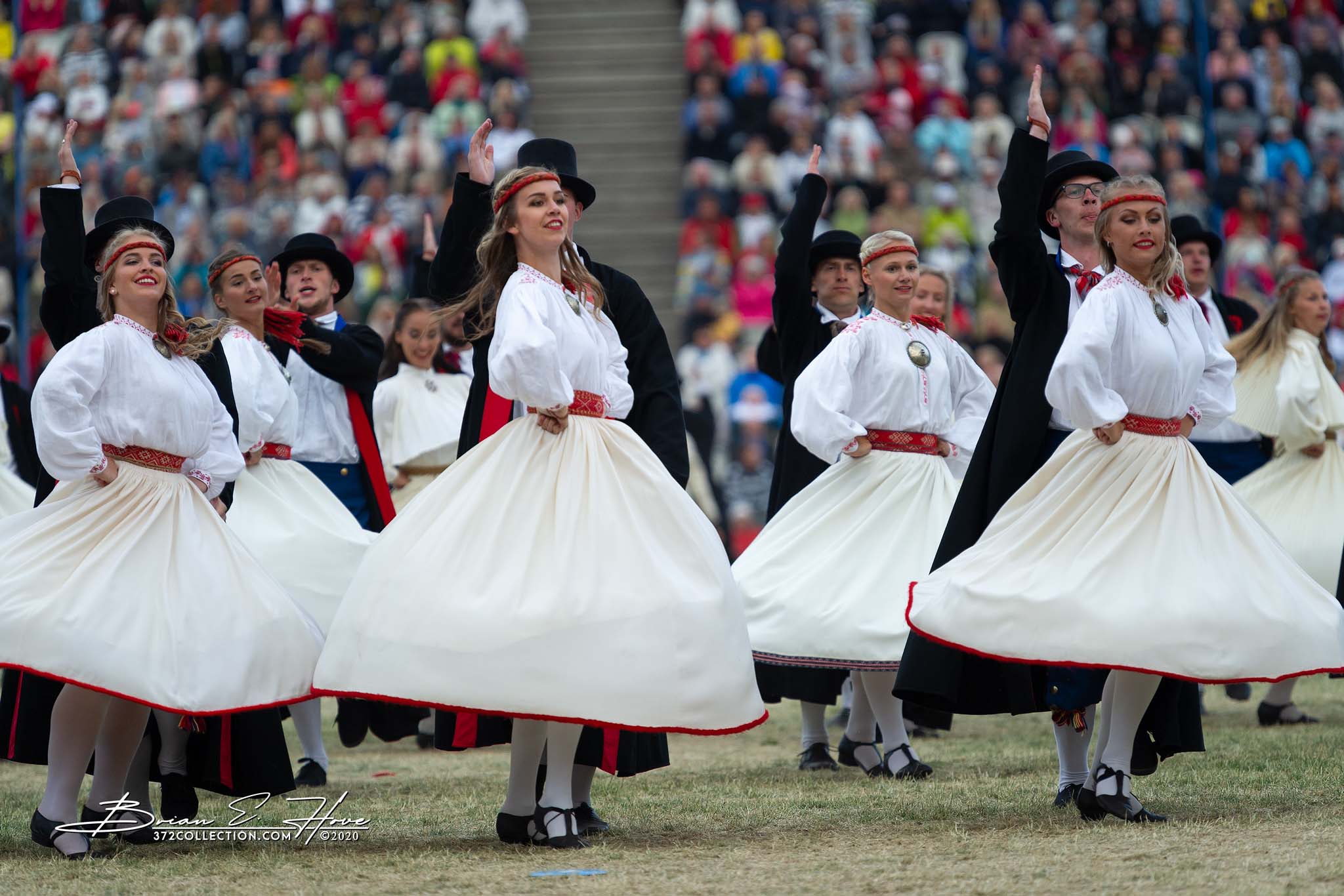
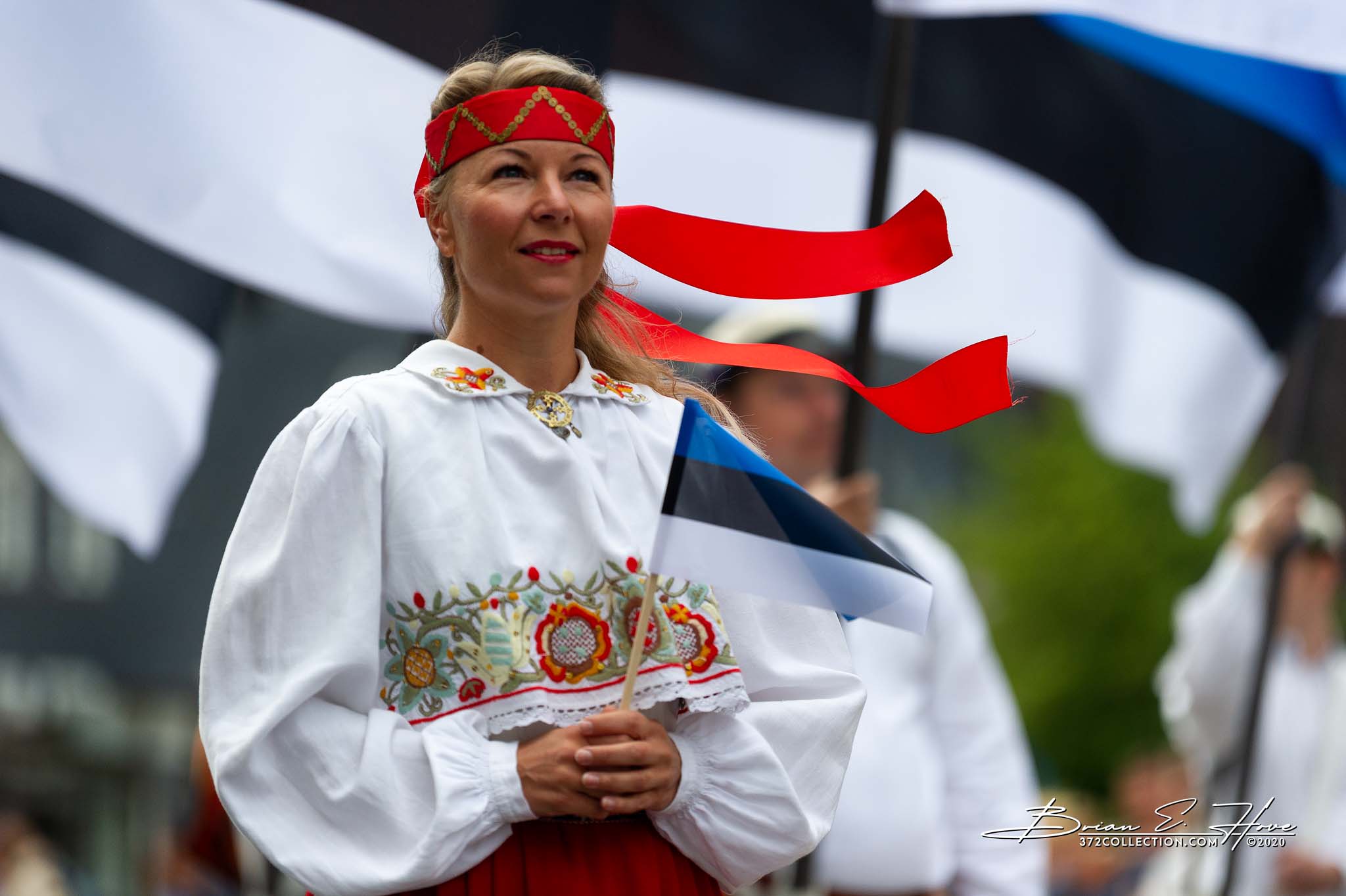
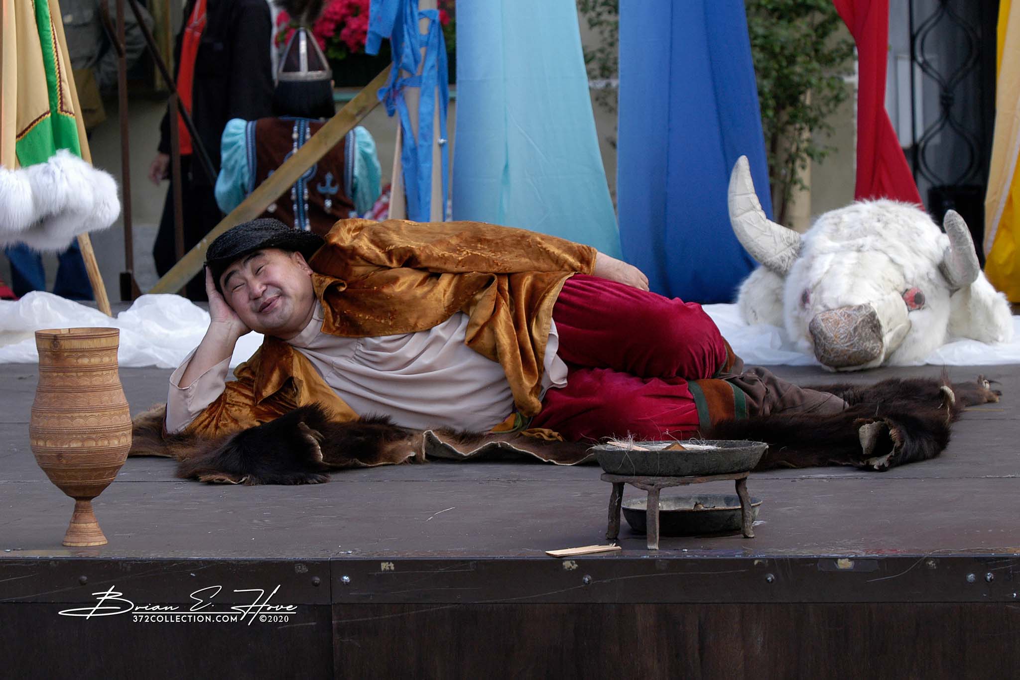
(Thank you for your patience – photos will load momentarily . . . )